Collection: California
by Otterman
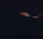
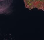
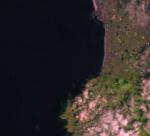
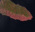
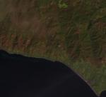
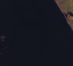
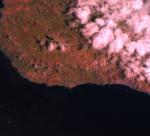
Google Maps at highest res provides nice details of probable kelp beds and other details. For instance, image AKP0004M94 clearly shows what could be M. pyrifera. It also shows k water craft moving through a channel in the bed that likely is maintained by regular boat traffic. Google Maps can also be used to verify suspected or questionable kelp beds in images that may not be as clear. For example, AKP0009ats is of the Two Harbors area of Santa Catalina Island. There are clouds in image which could shadow the water and as well as what, at the image's resolution a small islet or a large vessel. At high resolution, Google Maps shows the white speck as Bird Rock which is fringed by what appears to be a canopy kelp bed. South of Bird Rock is Harbor Reef which appears to be covered with kelp.